Detecting Drought and Vegetation Health with Remote Sensing
(Image credit: ESA)
Description & Learning objectives |
Remote sensing is the acquisition of information about the Earth’s surface without being in physical contact with it. Satellites cover large areas on the ground with relatively high detail, providing information about vegetation and water content. As a result, remote sensing is a valuable tool for large-scale studies of vegetation health and drought.
This webinar and online lecture will provide an overview of remote sensing based indices and derived metrics that can be used for characterizing, assessing and monitoring vegetation conditions and drought (impacts) at both regional and global scales.
Duration |
Date: 21/01/2020
Time: 11:00 to 12:00 (CET)
The webinar will last around one hour. 30 minutes presentation, 30 minutes Q&A.
Speakers |

Tobias Landmann
(Remote Sensing Solutions GmbH)
Tobias is an earth observation expert that specializes in integrative mapping and modelling (e.g. land degradation, epidemiology, crop productivity). His particular focus is land surface dynamics, semi-automatic modelling or mapping, devising curricula and managing EO projects.
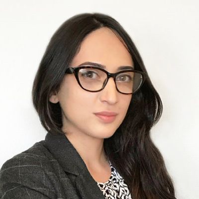
Gohar Ghazaryan
(University of Bonn)
Gohar Ghazaryan is a senior researcher at the Centre for Remote Sensing of Land Surfaces (ZFL) focusing on remotely sensed data fusion, machine learning, and time series analysis for land surface change characterization and drought impact analysis.
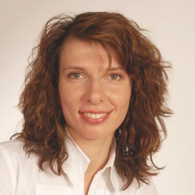
Dr. Olena Dubovyk
(University of Bonn)
PD Dr. Olena Dubovyk is a Deputy Professor at Remote Sensing Research Group (RSRG) and Co-Head of Centre for Remote Sensing of Land Surfaces (ZFL) of the University of Bonn. Her research is focused on the use of Earth observation and Geo-information for environmental monitoring and management including drought monitoring & assessment as well as earth observation for policy and international cooperation support (e.g. SDGs, Sendai indicators) and for disaster risk reduction.
 |
Webinar hosts
|
 |
 |
 |
Registration Link |
